San Gorgonio Pass City
About Beaumont, CA
Welcome to Beaumont, a Riverside County city at the summit of the San Gorgonio Pass, between the San Bernardino and San Jacinto mountains.
Beaumont is a city in Riverside County, California, located at the summit of the San Gorgonio Pass, the corridor between the San Bernardino Mountains and Mount San Gorgonio to the north and the San Jacinto Mountains to the south. This position places it on the historic route linking the Inland Empire with Palm Springs and the Coachella Valley, and Interstate 10 carries that traffic through the city today. The setting gives Beaumont sweeping views of Mount San Jacinto and the surrounding ranges. The city grew from an agricultural and railroad stop in the pass into a substantial residential community, expanding as the Inland Empire's suburbs pushed east. Its housing is dominated by newer single-family subdivisions and master-planned communities built to serve families and commuters, and the population now ranks among the larger cities of the pass region. Public education is provided by the Beaumont Unified School District, which serves Beaumont, the adjacent community of Cherry Valley, and portions of the surrounding area. Beaumont's location gives residents access to two distinct Southern California landscapes: the mountains and forests to the north, including the San Gorgonio Wilderness, and the desert resorts of Palm Springs and the Coachella Valley to the east. The nearby Bogart Regional Park and Oak Valley Golf Course add local outdoor and recreational options, and the Morongo Basin and desert attractions lie within easy reach. Beaumont suits households seeking newer suburban housing with mountain views and a central position between the Inland Empire and the desert. It offers a family-oriented, residential character within commuting distance of both the region's job centers and its recreation destinations.

MARKET SNAPSHOT
The Market at a Glance
How homes have been selling here over the last 90 days.
Price & Sales History
Market data reflects closed sales over the last 90 days and is provided for informational purposes.
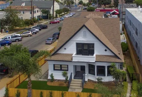
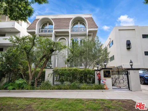
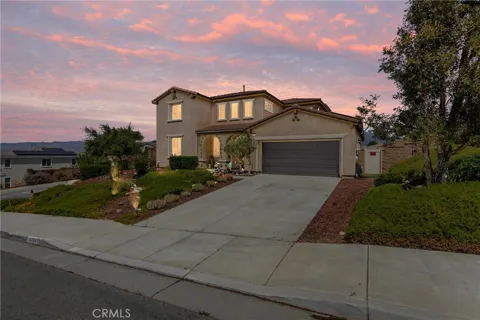
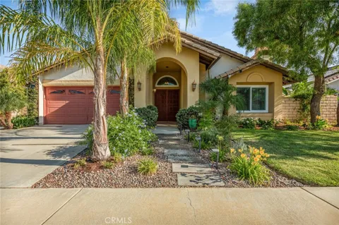
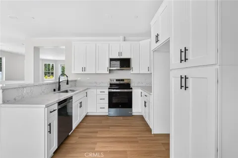
For sale
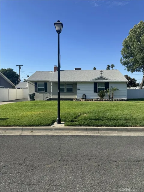
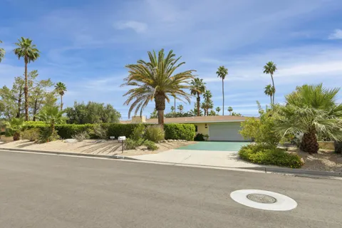
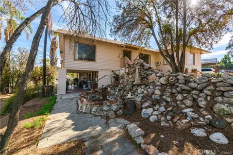
Houses in Beaumont, CA
Handpicked properties hitting the scene in your area.
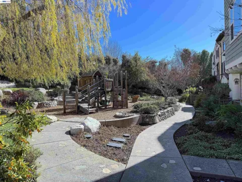
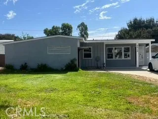
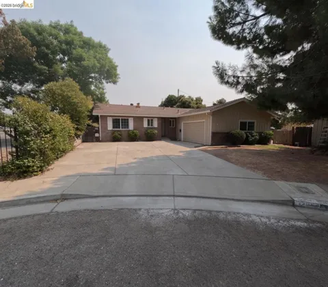
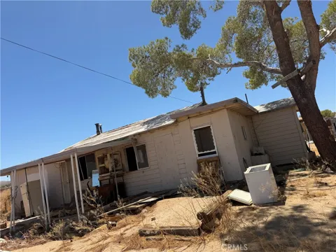
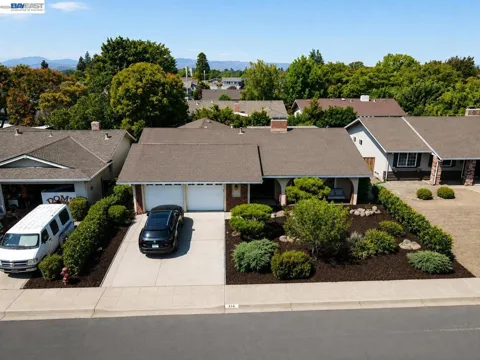

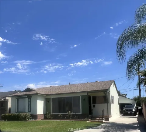

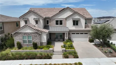
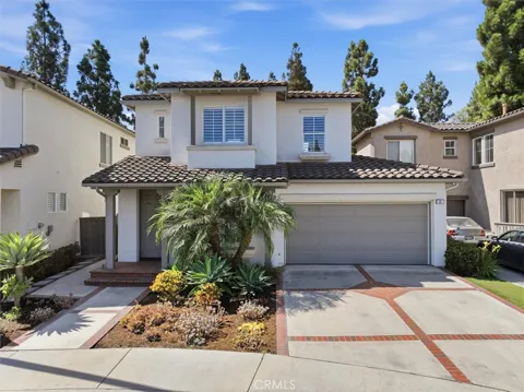
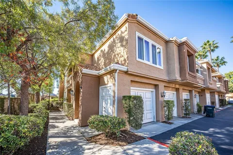
For sale
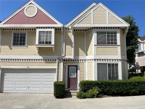
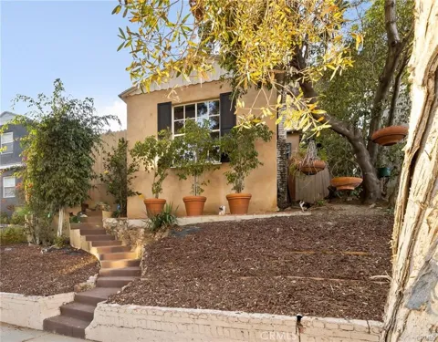
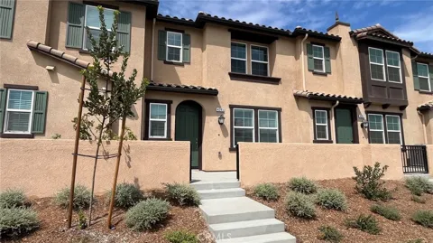
Townhomes in Beaumont, CA
Handpicked properties hitting the scene in your area.

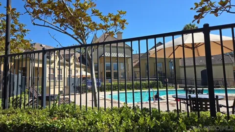
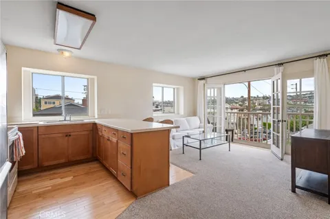
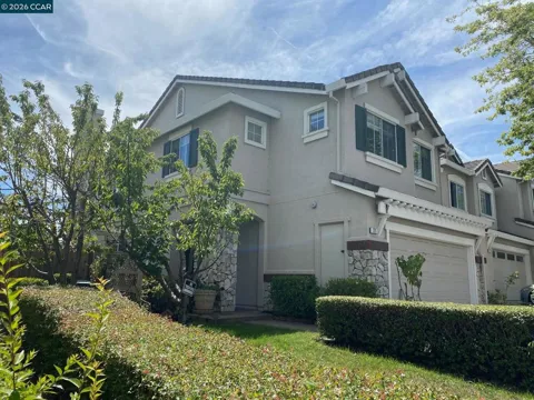
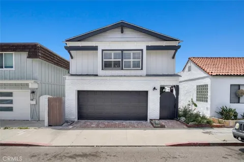
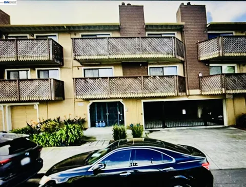
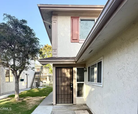
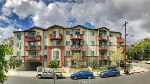
For sale
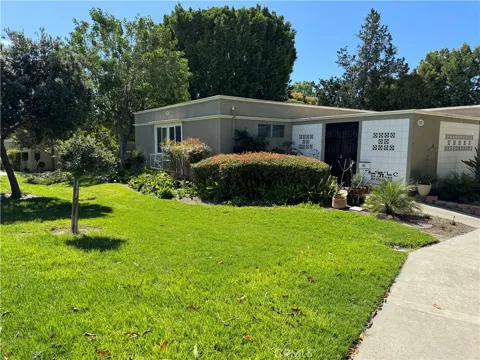
Condos in Beaumont, CA
Handpicked properties hitting the scene in your area.
Zip Codes
BROWSE BY ZIP
Browse listings by postal code in this area.
- Grid
- Map
- List

Contact us
Jessie Espinosa | Century 21 Select Real Estate, Turlock
1351 Geer Road, Ste. 103 Turlock, CA 95380
City Guide
About Beaumont
Real Estate & Housing
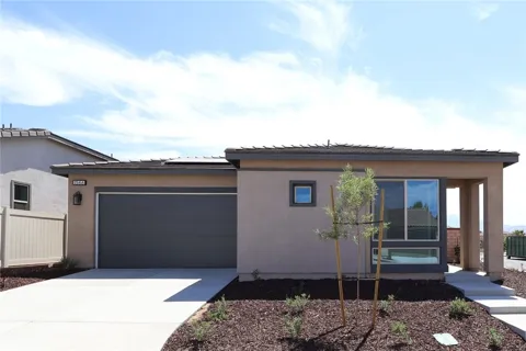
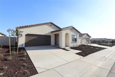
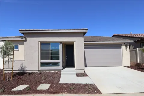
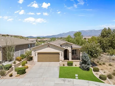
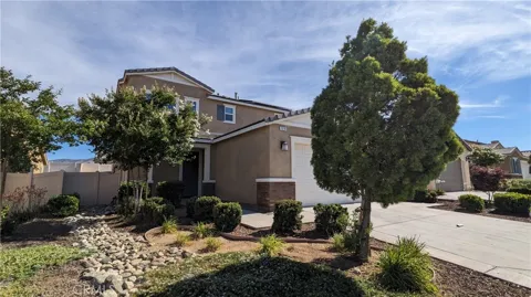
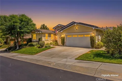
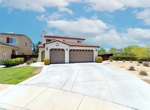
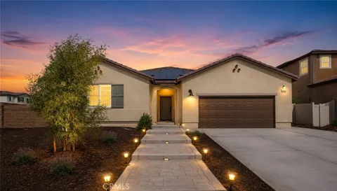
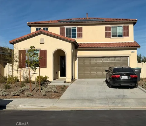
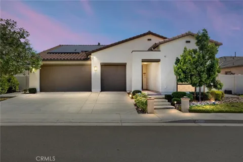
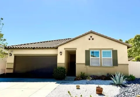
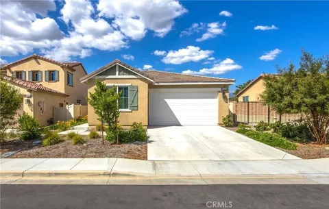
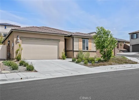
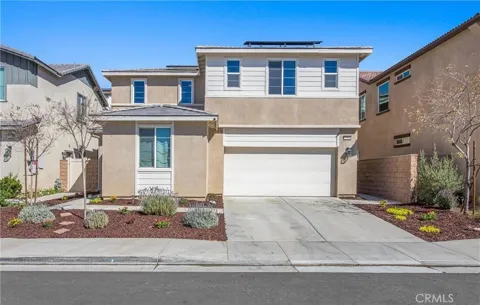
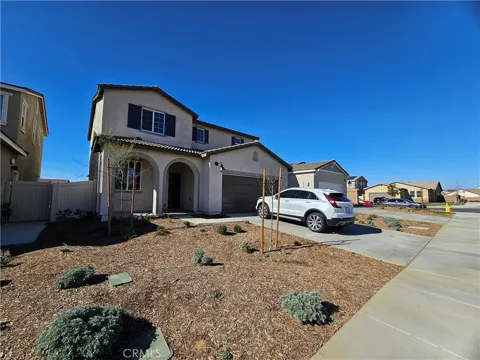
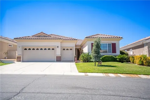
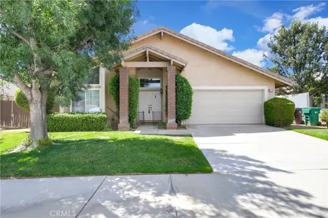
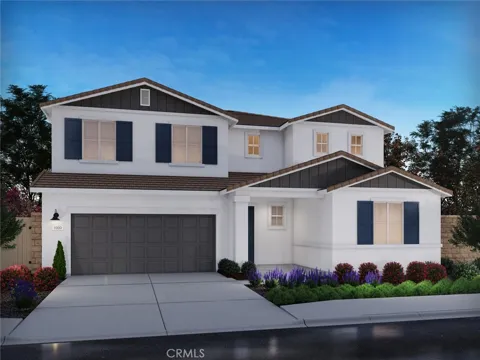
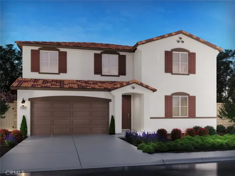
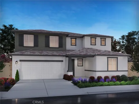
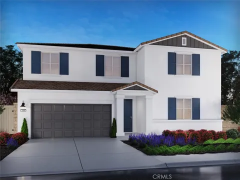
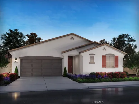
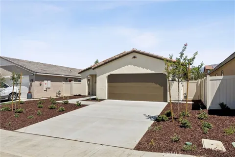
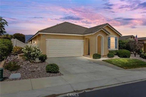
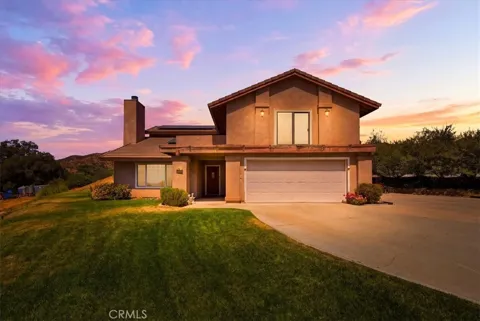
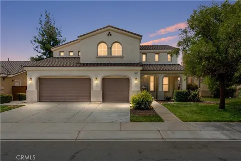
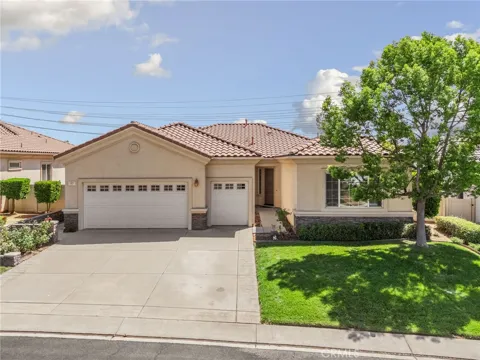
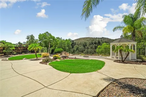
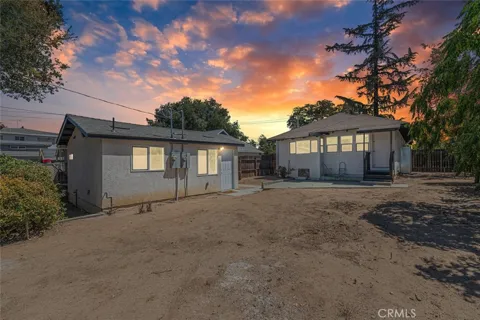
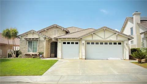
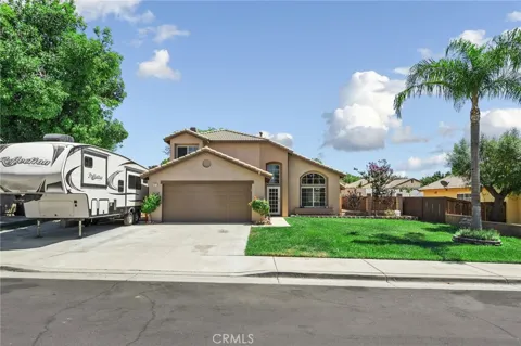
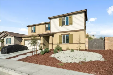
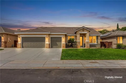
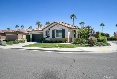
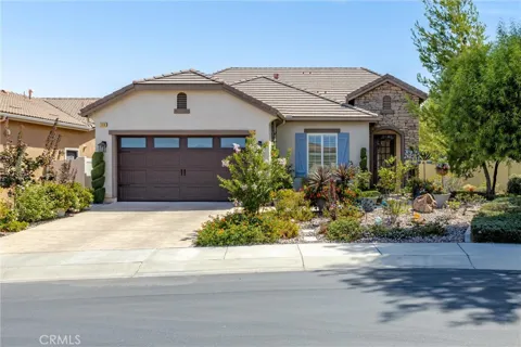
Beaumont's housing stock is dominated by newer single-family homes and master-planned communities, reflecting the city's substantial residential expansion along the San Gorgonio Pass. Neighborhoods feature a range of contemporary tract homes, many with mountain views, plus a growing mix of parks, schools, and community amenities built alongside them. Older, pre-expansion homes near the original town center add variety. The market is strongly family-oriented and largely composed of newer construction, appealing to buyers seeking modern housing and space within commuting distance of the Inland Empire.
Neighborhoods
Beaumont's neighborhoods are largely a product of its recent expansion, with master-planned communities and newer subdivisions spreading across the pass. These developments typically include their own parks, trails, and community facilities, giving each a distinct, self-contained character. The original town center retains the city's historic commercial core, while the adjacent community of Cherry Valley, also served by Beaumont USD, extends the area's residential pattern eastward. The overall layout is suburban and decentralized, oriented around schools, parks, and Interstate 10 access rather than a single downtown.
Lifestyle in Beaumont
Beaumont's lifestyle is shaped by its mountain-ringed setting and its position between two very different Southern California regions. Residents enjoy the family-oriented rhythm of a growing Inland Empire suburb, with master-planned communities, parks, and community events, while looking up at the San Jacinto and San Bernardino mountains that frame the city. Palm Springs and the Coachella Valley's resorts lie to the east, and the Inland Empire's job centers to the west. The result is a suburban, family-centered daily life with ready access to both desert recreation and mountain escapes.
Schools & Education
Beaumont is served by the Beaumont Unified School District, which operates elementary, middle, and high schools for the city, the adjacent community of Cherry Valley, and portions of the surrounding pass area. The district has expanded alongside the city's residential growth, adding campuses and programs to serve a growing student population. For higher education, options include the community colleges and universities of the Inland Empire and the Coachella Valley, within commuting distance. Schools are a central consideration for the many families drawn to the city's newer neighborhoods.
Getting Around
Interstate 10 is Beaumont's principal artery, running through the San Gorgonio Pass and connecting the city west to the Inland Empire and the greater Los Angeles area, and east to Palm Springs and the Coachella Valley. State Route 79 and local roadways provide north-south access toward the mountains and the San Jacinto Valley. The city is auto-dependent, with most commutes and errands made by car, and its freeway position makes it a practical base for workers in both the Inland Empire and the desert cities to the east.
Parks & Recreation
Beaumont's recreation draws on its pass setting. The San Jacinto and San Bernardino mountains provide hiking, camping, and scenic drives, with the San Gorgonio Wilderness to the north. Bogart Regional Park offers local open space and picnicking, and Oak Valley Golf Course provides an 18-hole course within the city. Palm Springs and the Coachella Valley's resorts, plus the Morongo Basin, are short drives east, while the slopes and lakes of the Big Bear area lie up the mountains to the north. This central position gives residents a broad recreational range.
About Beaumont
Frequently asked questions
What county is Beaumont in?
Beaumont is in Riverside County, California, in the inland region of Southern California. The city sits at the summit of the San Gorgonio Pass, between the San Bernardino and San Jacinto mountains.
Where is Beaumont located?
Beaumont is located at the summit of the San Gorgonio Pass, with the San Bernardino Mountains and Mount San Gorgonio to the north and the San Jacinto Mountains to the south. Interstate 10 runs through the pass.
What school district serves Beaumont?
Beaumont is served by the Beaumont Unified School District, which operates schools for Beaumont, the nearby community of Cherry Valley, and portions of the surrounding area. The district has grown alongside the city.
What is Beaumont known for?
Beaumont is known for its setting at the summit of the San Gorgonio Pass, with dramatic views of Mount San Jacinto and the surrounding ranges. It has become one of the larger cities of the pass between the Inland Empire and the desert resorts.
Still have questions about Beaumont?
Get in touchExplore the area
