San Gorgonio Pass Gateway
About Banning, CA
Welcome to Banning, a Riverside County city in the San Gorgonio Pass, set between the Inland Empire and Palm Springs along Interstate 10.
Banning is a city in Riverside County, California, situated in the San Gorgonio Pass, a wind-swept gap between the San Bernardino Mountains to the north and the San Jacinto Mountains to the south. Also known as Banning Pass, this corridor has long been the primary gateway from the Inland Empire into the Coachella Valley, and Interstate 10 now carries that traffic through the city. Banning's population was about 29,500 in the 2020 census. The city takes its name from Phineas Banning, a nineteenth-century stagecoach-line owner known as the 'Father of the Port of Los Angeles.' Gilman's Ranch, north of downtown, served as a stagecoach station on the overland route, and the Southern Pacific railroad arrived in 1876, cementing the town's role as a transportation crossroads. Banning incorporated in 1913, and the surrounding area was once known for almond growing. Today the city borders the Morongo Indian Reservation, home to the Morongo Band of Cahuilla Indians. Banning's location between two major regions shapes its character. It sits about eighty miles east of downtown Los Angeles and about thirty miles west of Palm Springs, sharing the pass with its neighbor Beaumont. The two cities have grown rapidly since the 1990s as the Inland Empire expanded eastward, adding newer subdivisions to Banning's established downtown and mid-century neighborhoods. The San Gorgonio Pass is also known for its wind farms, a visible feature of the landscape. For residents, Banning offers a comparatively affordable Riverside County base with direct freeway access to both the Inland Empire and the desert resorts. Mt. San Jacinto College maintains a campus in the city, and the Malki Museum documents the heritage of the pass's Native peoples. Banning suits households seeking a smaller-city, high-desert setting positioned between the mountains and the Coachella Valley.

MARKET SNAPSHOT
The Market at a Glance
How homes have been selling here over the last 90 days.
Price & Sales History
Market data reflects closed sales over the last 90 days and is provided for informational purposes.
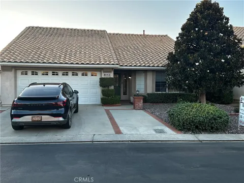
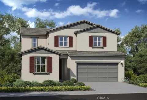
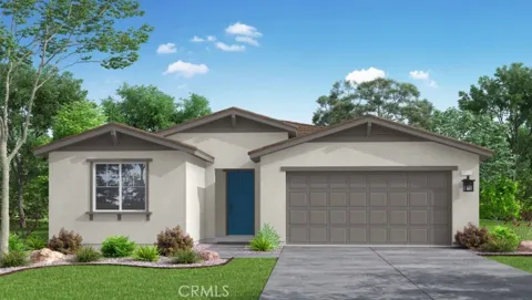
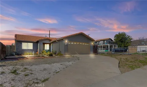
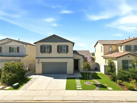
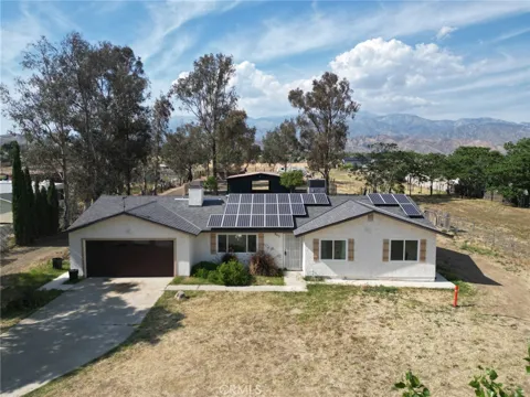
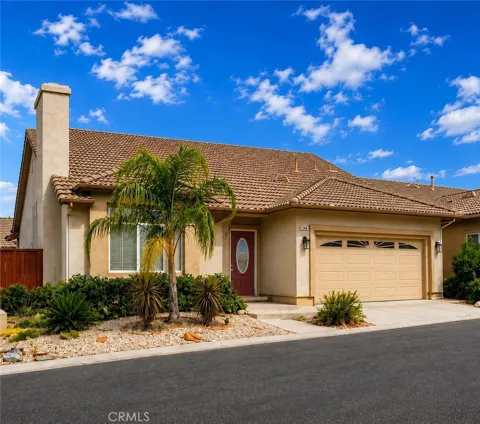
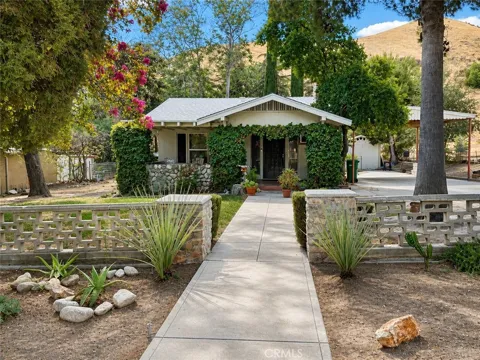
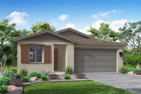
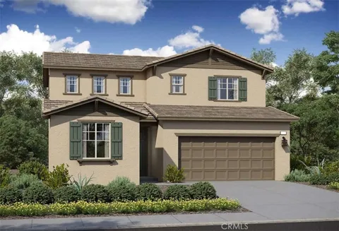
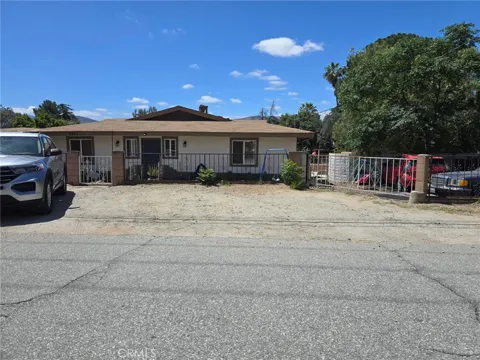
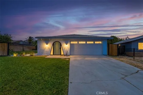
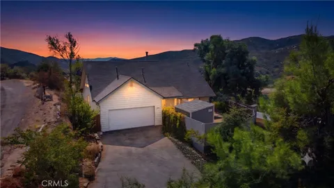
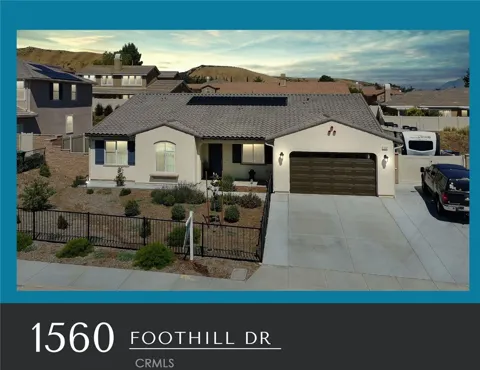
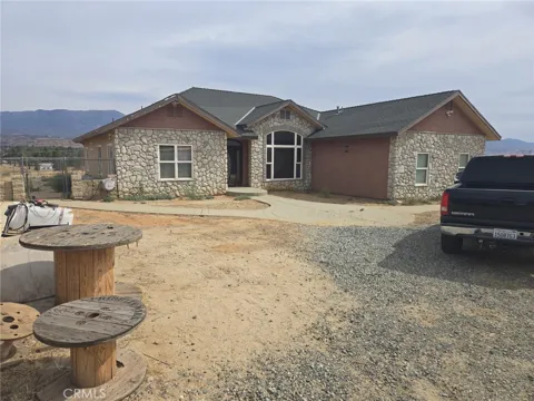
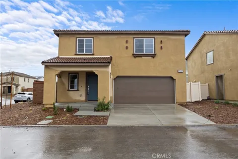
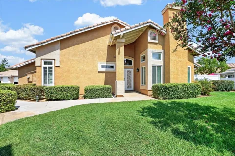
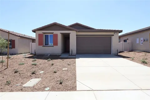
For sale
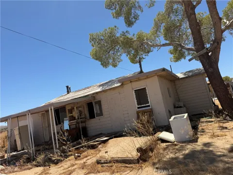
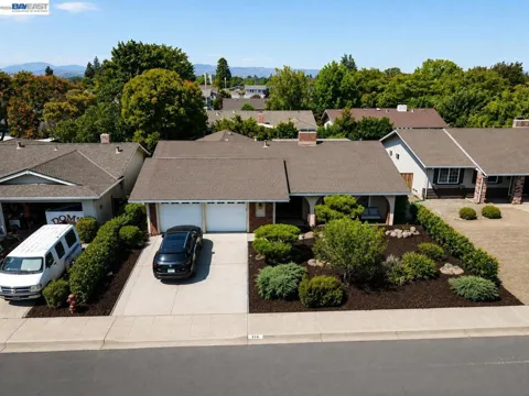
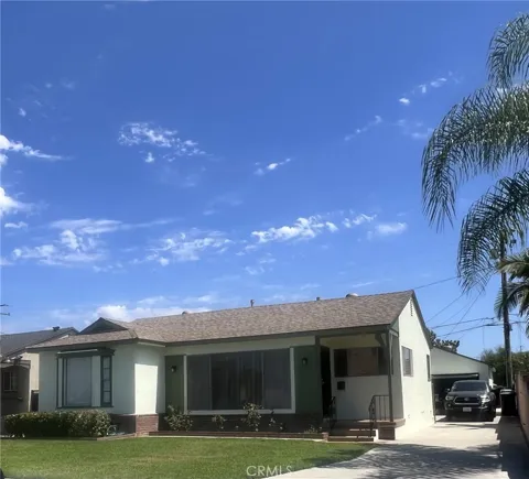
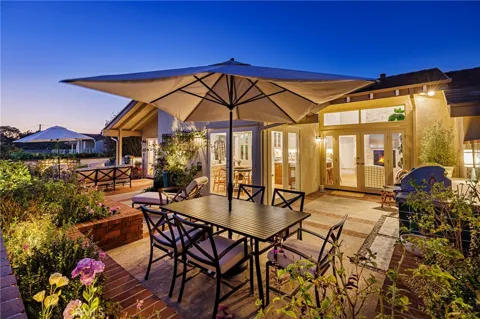
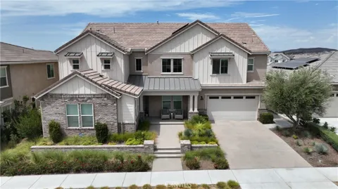
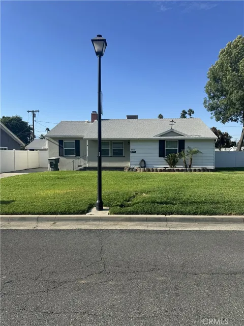
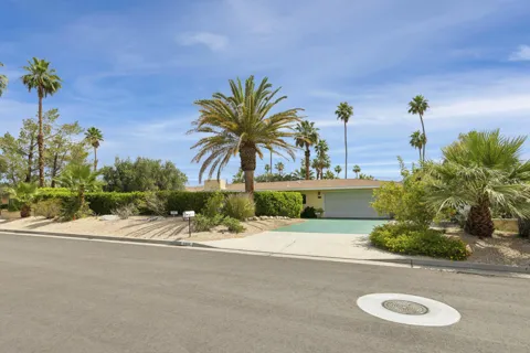
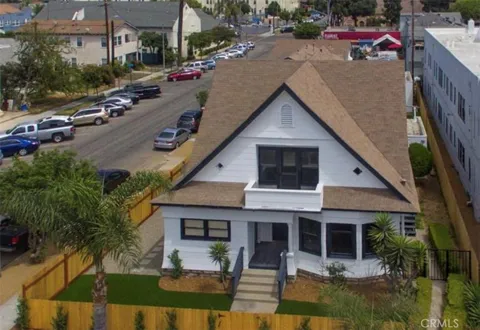
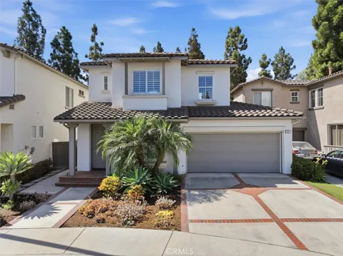
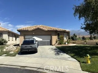
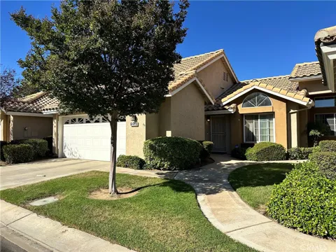
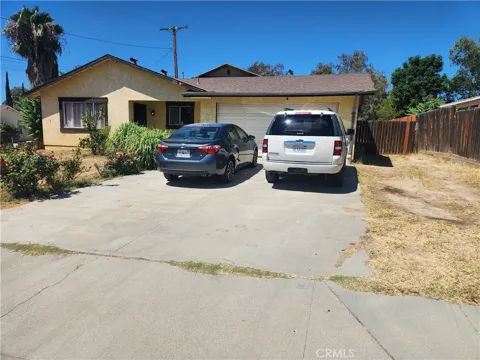
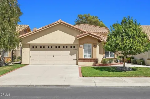
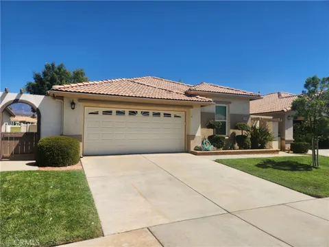
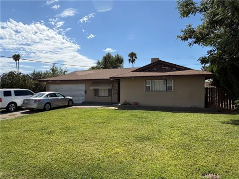
Houses in Banning, CA
Handpicked properties hitting the scene in your area.
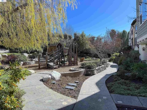
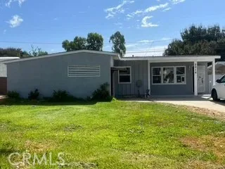
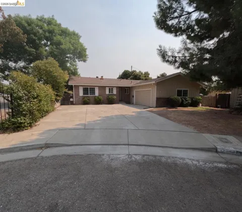

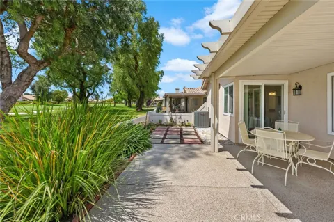
For sale
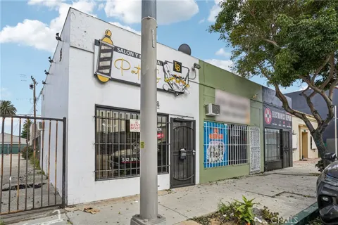
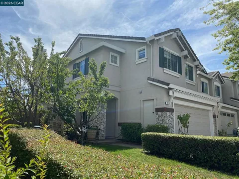
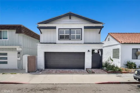
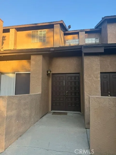
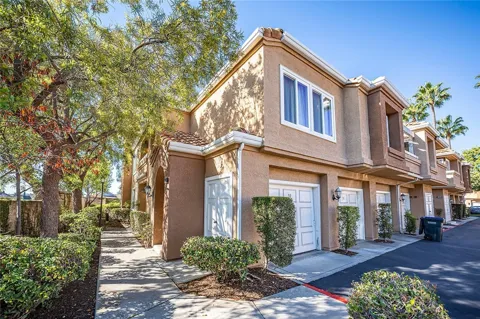
Townhomes in Banning, CA
Handpicked properties hitting the scene in your area.
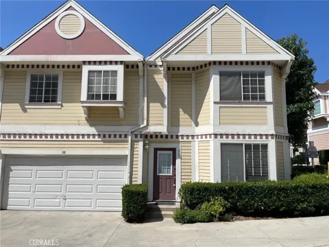
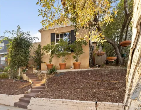
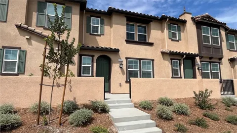
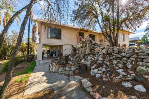
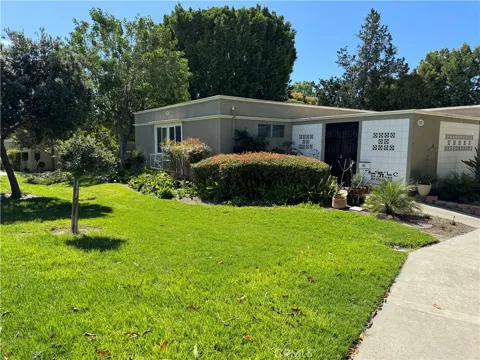
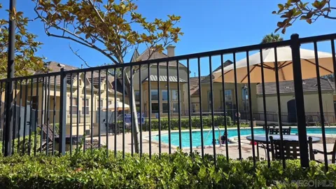
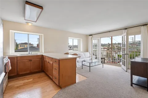
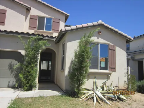
For sale
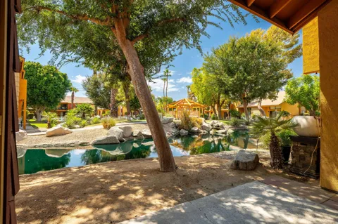
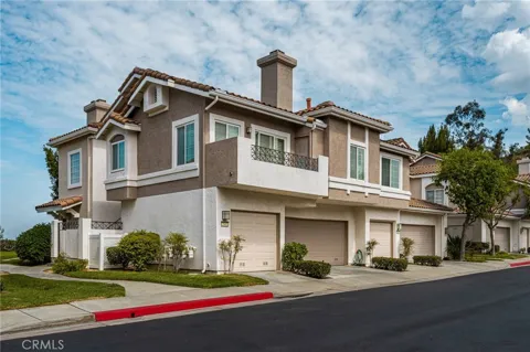
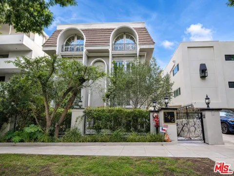
Condos in Banning, CA
Handpicked properties hitting the scene in your area.
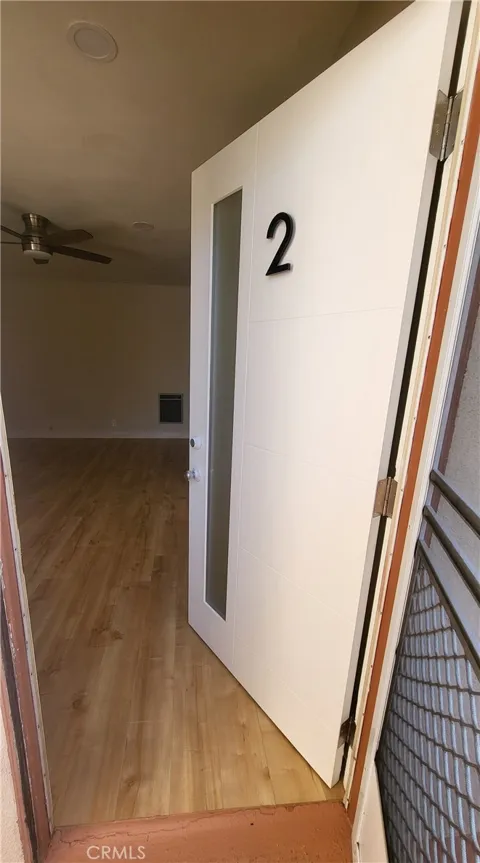
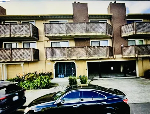
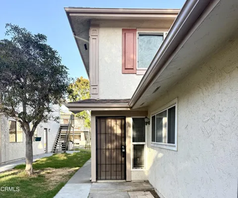
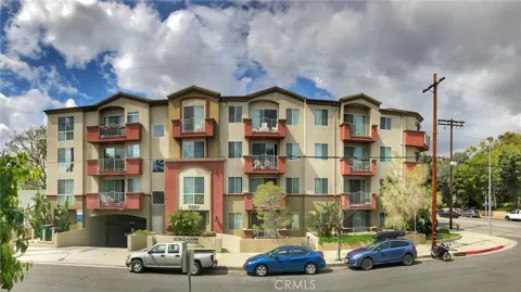
Zip Codes
BROWSE BY ZIP
Browse listings by postal code in this area.
- Grid
- Map
- List
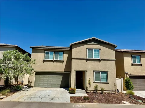
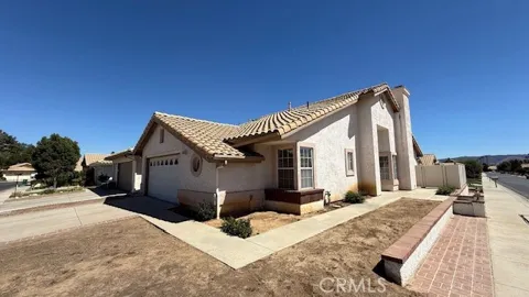
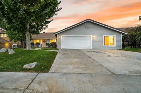
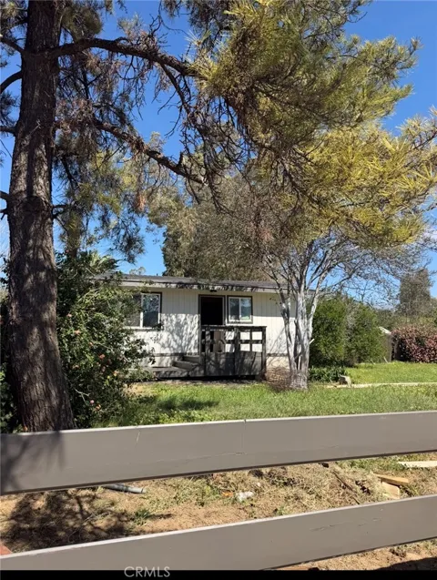
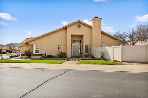
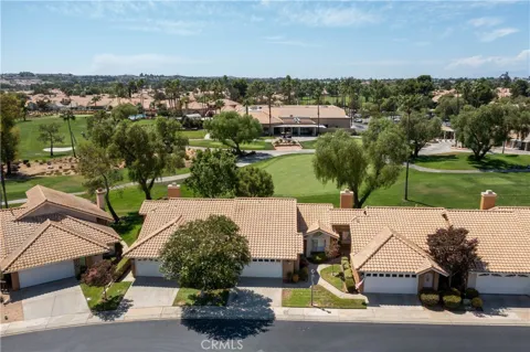
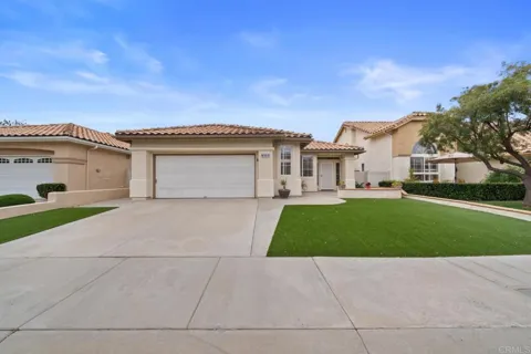
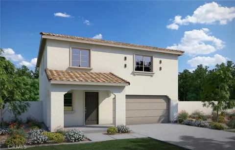
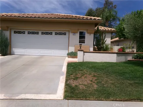
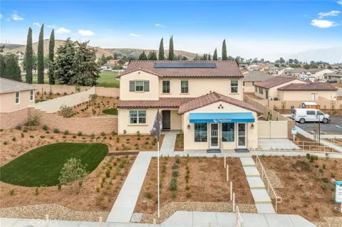
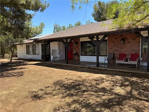
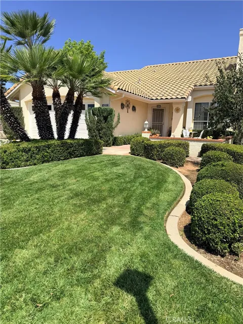
Contact us
Jessie Espinosa | Century 21 Select Real Estate, Turlock
1351 Geer Road, Ste. 103 Turlock, CA 95380
City Guide
About Banning
Real Estate & Housing
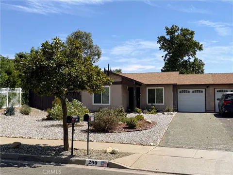
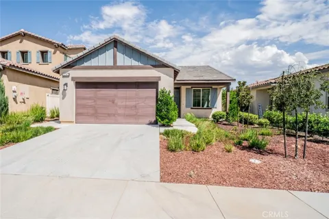
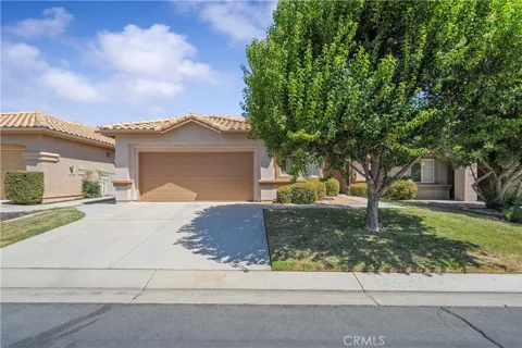
Banning's housing stock combines an older, established core with substantial newer construction built during the growth of the 1990s and after. The downtown area and surrounding streets contain historic and mid-century single-family homes, while newer subdivisions have expanded the city as the Inland Empire pushed eastward. Compared with coastal Southern California, the market is notably more affordable, with single-family detached homes predominating. The city's active-adult communities and subdivisions have made it a draw for retirees and families seeking lower-cost homeownership. Banning shares this growth pattern with neighboring Beaumont, and the two cities form a contiguous, expanding residential corridor across the pass.
Neighborhoods
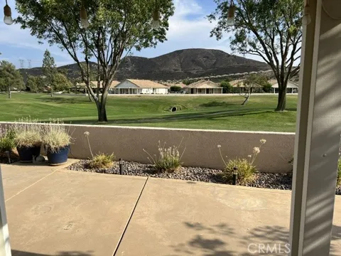
Banning's neighborhoods range from a historic downtown core, where early twentieth-century homes and commercial buildings mark the city's origins, to mid-century residential streets and newer subdivisions on the city's perimeter. Growth since the 1990s has added planned residential communities, including active-adult oriented developments, that have reshaped the city's edges and extended it toward neighboring Beaumont. The city's setting in the pass means many neighborhoods sit with mountain views and open, windswept surroundings. While Banning lacks a single dominant master-planned identity, its mix of older town streets and newer tract housing reflects its evolution from a railroad town into a Riverside County growth city.
Lifestyle in Banning
Banning offers a small-city lifestyle in a dramatic high-desert pass setting. Life is framed by the San Bernardino and San Jacinto mountains that rise on either side, and by the wind farms that line the pass. The city's heritage as a stagecoach and railroad crossroads remains visible in its downtown and historic sites such as Gilman's Ranch. The Malki Museum connects residents to the region's Native American history, while the proximity of Palm Springs brings resort amenities, dining, and cultural events within a short drive. Banning appeals to those seeking a quieter, more affordable base with both mountain access and desert-resort convenience, rather than the pace of the larger Inland Empire cities to the west.
Schools & Education
Banning is served primarily by the Banning Unified School District, which operates the city's public elementary, middle, and high schools, including Banning High School. Some portions of the broader pass area fall within the Beaumont Unified School District, so specific school assignment depends on address. For higher education, the San Gorgonio Pass Campus of Mt. San Jacinto College offers community-college programs within the city, extending the district's educational reach. This combination of a local unified district and a nearby college campus supports families across the Banning-Beaumont corridor, an area whose rapid growth has brought ongoing investment in school facilities.
Getting Around
Banning is defined by its position on Interstate 10, the main east-west freeway linking the Inland Empire to the Coachella Valley and points east. The city sits about eighty miles east of downtown Los Angeles and about thirty miles west of Palm Springs, giving it direct freeway access in both directions. State Route 243 branches north toward Idyllwild in the San Jacinto Mountains. Daily travel within the city and across the pass is car-dependent, and the I-10 corridor carries substantial through traffic, but Banning's freeway location is the foundation of its role as a gateway community and a practical base for commuters and travelers across the region.
Parks & Recreation
Banning's recreation draws on its mountain-and-desert setting. The San Gorgonio Pass lies between the San Bernardino and San Jacinto ranges, putting hiking, camping, and mountain destinations such as the San Gorgonio Wilderness and the Idyllwild area within reach. Palm Springs, about thirty miles east, adds golf, resorts, and cultural attractions, while the Malki Museum offers a local cultural destination focused on Native American heritage. The city's parks and community facilities serve everyday recreation, and the pass's open, scenic landscape provides a distinctive backdrop for outdoor life. Banning functions as a base for exploring both the high country and the desert rather than as a self-contained resort destination.
About Banning
Frequently asked questions
What county is Banning in?
Banning is located in Riverside County, California, in the San Gorgonio Pass, a gap between the San Bernardino Mountains to the north and the San Jacinto Mountains to the south. The pass is also known as Banning Pass.
How far is Banning from Los Angeles and Palm Springs?
Banning sits along Interstate 10, about eighty miles east of downtown Los Angeles and about thirty miles west of Palm Springs. Its location makes it the gateway between the Inland Empire and the Coachella Valley.
Who is Banning named for?
Banning is named for Phineas Banning, a nineteenth-century stagecoach-line owner known as the 'Father of the Port of Los Angeles.' The town grew around a stagecoach station at Gilman's Ranch and the arrival of the Southern Pacific railroad in 1876.
What school district serves Banning?
Banning is served primarily by the Banning Unified School District, with some parts of the area falling within the Beaumont Unified School District. The San Gorgonio Pass Campus of Mt. San Jacinto College provides higher-education access in the city.
What Native American community is near Banning?
Banning borders the Morongo Indian Reservation, home to the Morongo Band of Cahuilla Indians. The Malki Museum in the area documents the culture and history of the Native peoples of the San Gorgonio Pass region.
Still have questions about Banning?
Get in touchExplore the area
