Inland Empire City With Dairy Roots
About Chino, CA
Welcome to Chino, a San Bernardino County city in the Inland Empire that grew from a Spanish land grant and dairy-farming center into a diversified suburban community.
Chino is a city in the southwestern corner of San Bernardino County, California, at the western edge of the Inland Empire and roughly 35 miles east of downtown Los Angeles. It is bounded by Chino Hills to the south, Ontario to the northeast, Eastvale in Riverside County to the southeast, and Orange County to the southwest, a position that places it at the meeting point of four counties. The area's roots run deep into California's ranching past. The Spanish land grant Rancho Santa Ana del Chino gave the region its name, and the community's modern form began in the late 1880s when the Chino Ranch was subdivided for settlement. Through the first half of the twentieth century, Chino remained an agricultural center, and beginning in the 1950s it became one of Southern California's most important dairy-farming districts as dairymen, many of Dutch, Portuguese, and Basque descent, relocated to the valley. That dairy legacy still surfaces in the city's landmarks and identity even as agriculture has receded. Today Chino is a diversified suburban city whose economy spans logistics, manufacturing, and regional commerce. Its location near Ontario International Airport and major freeways has made it a distribution hub, while its residential neighborhoods have grown steadily to house families drawn by relative affordability and access to both the Inland Empire and the Los Angeles basin. Chino blends that industrial and suburban growth with substantial open space. Prado Regional Park and the Prado Basin lie within the city, and Chino Hills State Park rises to the south, preserving a natural counterweight to development. The result is a city that pairs practical freeway and airport access with a visible agricultural heritage and room to get outdoors.
MARKET SNAPSHOT
The Market at a Glance
How homes have been selling here over the last 90 days.
Price & Sales History
Market data reflects closed sales over the last 90 days and is provided for informational purposes.
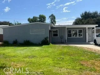
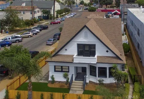
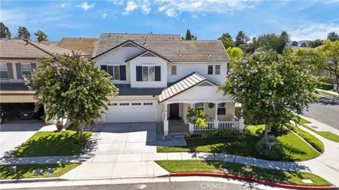
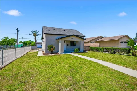
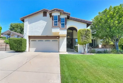
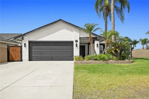
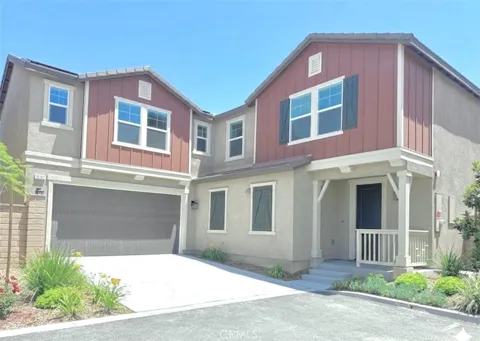
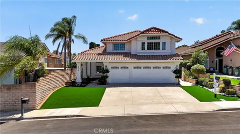
For sale
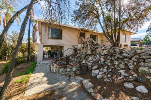
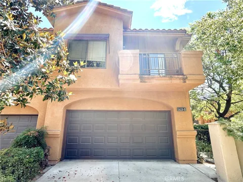
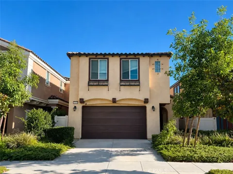
Houses in Chino, CA
Handpicked properties hitting the scene in your area.
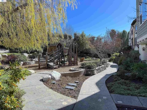
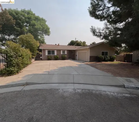
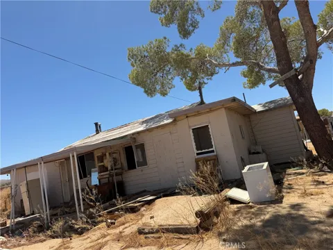
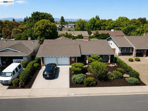
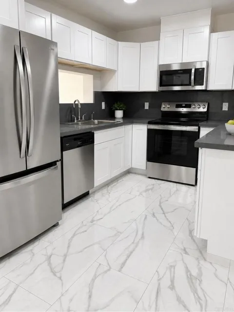
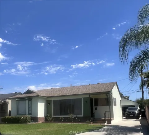
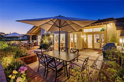
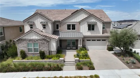
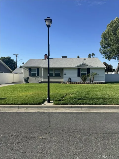
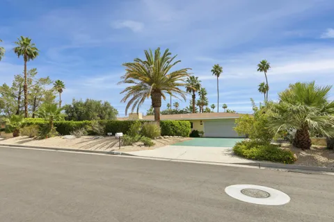
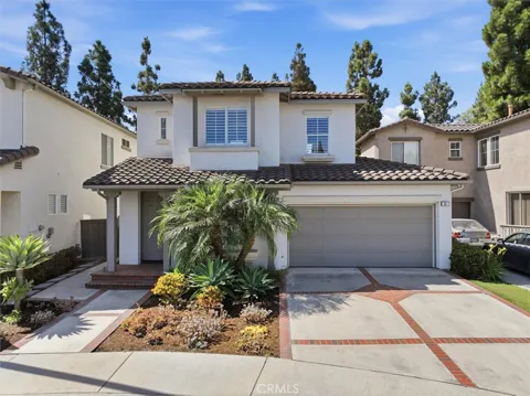
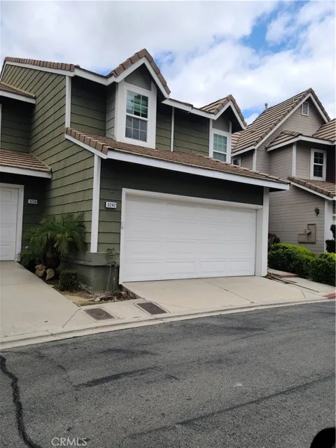
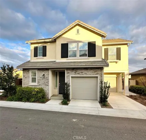
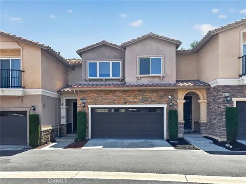
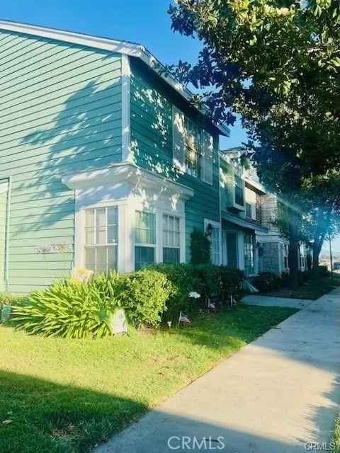
For sale
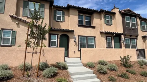
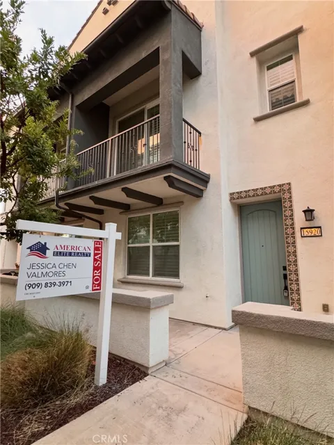
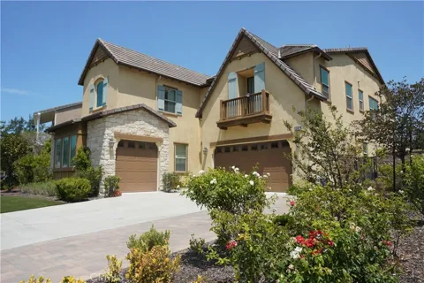
Townhomes in Chino, CA
Handpicked properties hitting the scene in your area.
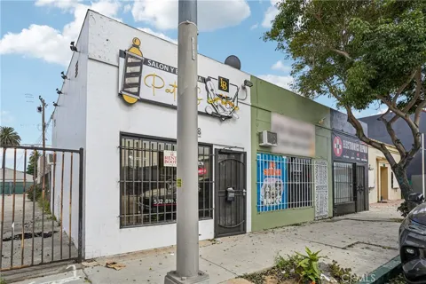
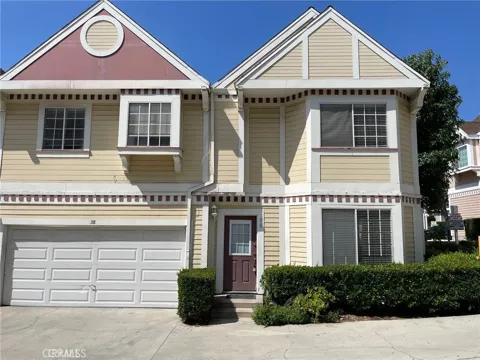
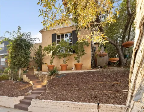
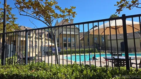
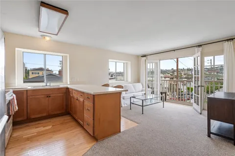
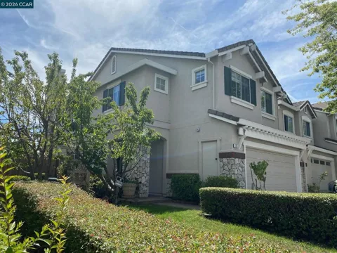
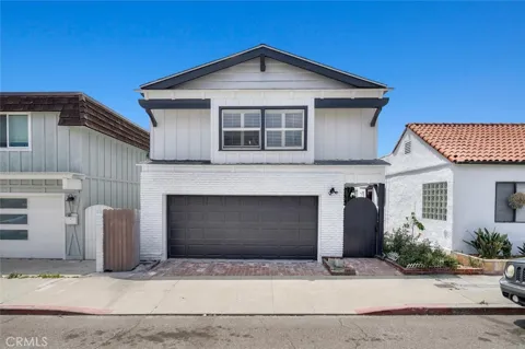
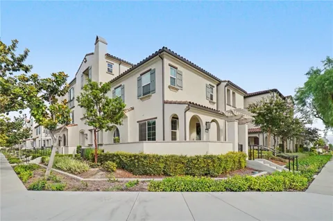
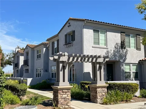
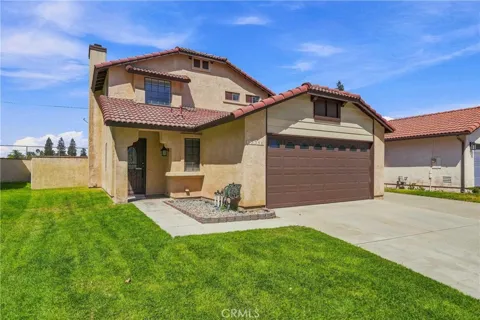
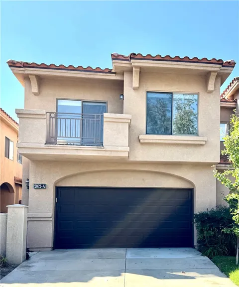
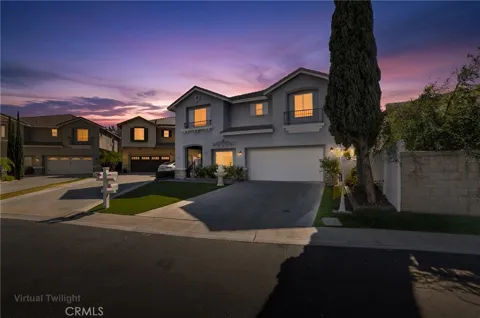
For sale
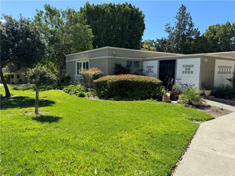
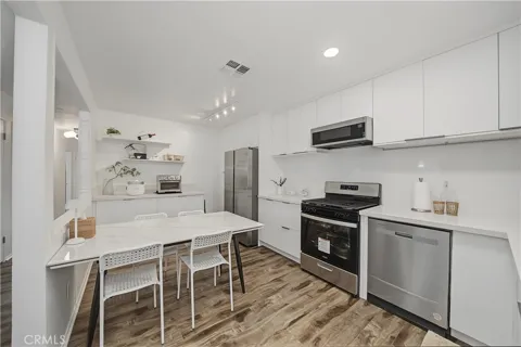
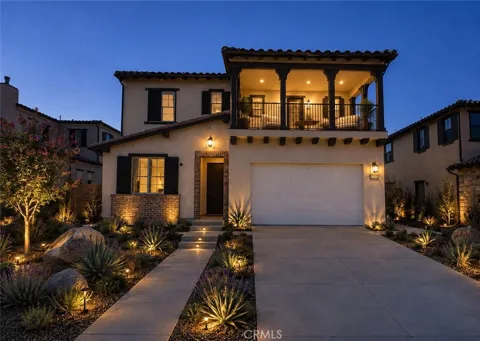
Condos in Chino, CA
Handpicked properties hitting the scene in your area.
Zip Codes
BROWSE BY ZIP
Browse listings by postal code in this area.
- Grid
- Map
- List
Contact us
Jessie Espinosa | Century 21 Select Real Estate, Turlock
1351 Geer Road, Ste. 103 Turlock, CA 95380
City Guide
About Chino
Real Estate & Housing
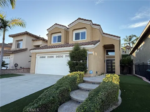
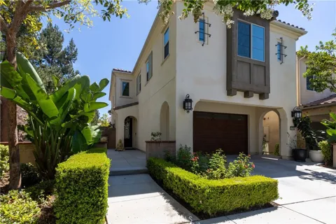
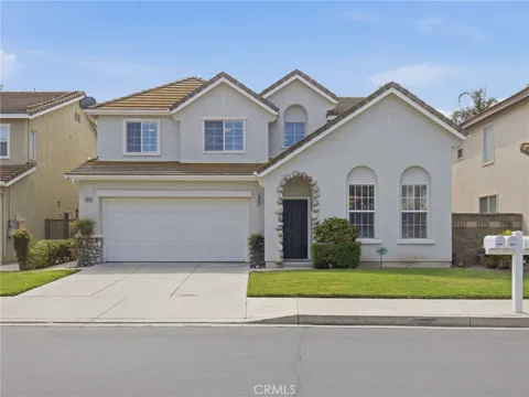
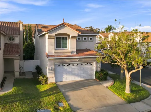
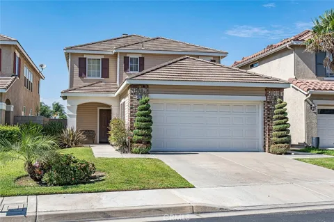
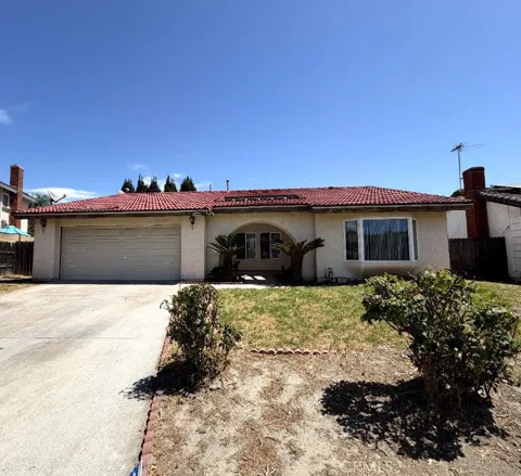
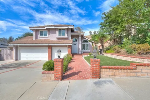
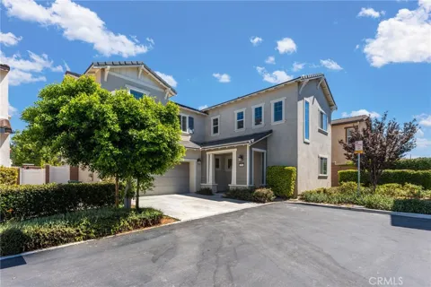
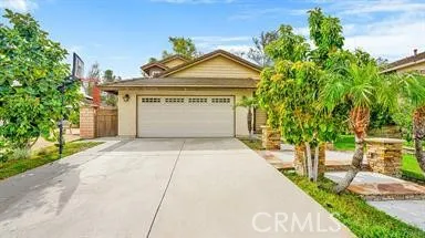
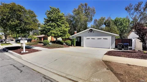
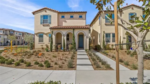
Chino's housing stock reflects several eras of growth. Older, more established neighborhoods cluster around the city's original core, while large master-planned communities and newer subdivisions have developed across the southern and eastern portions of the city. The mix includes single-family homes of varying vintages, townhomes, and newer residential developments, giving buyers a wide range of options. The city's dairy-era past lingers in the form of remaining ranch and equestrian properties, particularly in areas that transition toward Chino Hills. Buyers are often drawn by the combination of newer construction, larger lot availability compared with closer-in Los Angeles basin communities, and access to the 71 and 60 freeway corridors.
Neighborhoods
Chino's neighborhoods range from its historic downtown core to newer communities on the city's southern and eastern edges. The downtown area retains the city's original street grid and older homes, while large master-planned developments such as The Preserve in southern Chino have added newer housing, schools, and community amenities. Areas near the 71 Freeway and toward the Chino Hills boundary include a mix of subdivisions and semi-rural equestrian properties that recall the city's ranching past. The nearby city of Chino Hills offers its own distinct neighborhoods and retail centers, and the two communities together form a connected residential region at the Inland Empire's western edge.
Lifestyle in Chino
Chino offers a family-oriented, suburban lifestyle with a strong sense of its agricultural roots. The city's dairy heritage is celebrated in local landmarks and community identity, even as the region has grown more urban. Residents have convenient access to shopping, dining, and services along the major commercial corridors, while Prado Regional Park and Chino Hills State Park provide quick escapes into open space. The city's position between the Inland Empire and the Los Angeles basin gives households access to a broad range of employment, education, and entertainment options, and its freeway and airport connections make it a practical base for commuters across Southern California.
Schools & Education
Chino is served by the Chino Valley Unified School District, a San Bernardino County district founded in 1860 that also covers the city of Chino Hills and a southwestern portion of Ontario. The district operates a network of elementary, middle, and high schools across the two cities, including several recognized schools, and serves as a central institution for local families. Higher-education options are available nearby through the Chaffey Community College District and the region's universities, while the broader Inland Empire offers a range of private and charter school choices. School quality and district boundaries are frequent considerations for families moving into the area.
Getting Around
Chino is well positioned within Southern California's freeway network. The Chino Valley (71) and Pomona (60) freeways run along the city's boundaries, providing direct access to the Inland Empire and the Los Angeles basin. Ontario International Airport, one of the region's major passenger airports, sits just a few miles to the northeast, while Chino Airport offers general-aviation, corporate, and cargo capacity. The city's logistics-oriented economy reflects its access to major freight corridors and distribution networks. Commuting is primarily car-based, with Metrolink and transit options available through nearby stations in the surrounding cities.
Parks & Recreation
Chino's recreation centers on Prado Regional Park and the surrounding Prado Basin, a large natural area at the meeting point of four counties that offers fishing, camping, disc golf, trails, and open space. Chino Hills State Park, immediately to the south, provides thousands of acres of rolling hills for hiking, mountain biking, and wildlife viewing. The city's parks system adds neighborhood parks, sports fields, and community facilities throughout its residential areas. The remaining equestrian and ranch properties hark back to Chino's dairy and agricultural past, and the nearby hills and basins give residents substantial outdoor options close to home.
About Chino
Frequently asked questions
What county is Chino in?
Chino is located in San Bernardino County, California, in the southwestern corner of the county at the western edge of the Inland Empire. It borders Chino Hills, Ontario, and Orange County.
How far is Chino from downtown Los Angeles?
Chino is about 35 miles east of downtown Los Angeles, connected to the region by the Pomona and Chino Valley freeways, known locally as the 60 and 71. Ontario International Airport, a major passenger airport serving the Inland Empire, is just a few miles away.
What school district serves Chino?
Chino is served by the Chino Valley Unified School District, which also covers the city of Chino Hills and a portion of southwestern Ontario. The district has operated public schools in the area since it was founded in 1860.
What is Chino known for?
Chino is known for its dairy-farming heritage, which made it one of Southern California's leading dairy centers beginning in the 1950s, as well as its roots in the Spanish land grant Rancho Santa Ana del Chino. The city's agricultural past remains a visible part of its identity today.
What is the population of Chino?
Chino's population was 91,403 at the 2020 census, with more recent estimates ranging from about 92,000 to 98,000 residents as the city continues to grow. The city has expanded steadily since its dairy-era days, adding neighborhoods, schools, and employment centers.
Still have questions about Chino?
Get in touchExplore the area
