
Conejo Valley City in the Santa Monicas
About Agoura Hills, CA
Welcome to Agoura Hills, the Los Angeles County city in the eastern Conejo Valley, where suburban neighborhoods meet the trails and open space of the Santa Monica Mountains.
Agoura Hills is a city in Los Angeles County, California, in the eastern Conejo Valley where the Ventura Freeway (U.S. Route 101) climbs into the Santa Monica Mountains. Incorporated in 1982, it is one of the county's newer cities, and its founders intentionally kept its low-density, semi-rural character even as suburban growth accelerated around it. The area's name has a colorful origin: it derives from Pierre Agoure, a 19th-century French Basque rancher who settled in the valley. The spelling was simplified when a post office was established, and the community took the name Agoura Hills upon incorporation. Before that, the conversion of Highway 101 into the Ventura Freeway in the 1950s transformed a rural crossroads into a growing residential area, with early tracts such as Hillrise, Liberty Canyon, and Lake Lindero. Today Agoura Hills is an affluent, family-oriented suburb with a strong connection to the outdoors. The city abuts the Santa Monica Mountains National Recreation Area, and its trailheads lead into a network of chaparral-covered hills, oak-shaded canyons, and ridgeline vistas. Open space and ridgeline protections keep development restrained, so much of the community feels green and uncrowded. Residents are served by the highly regarded Las Virgenes Unified School District and enjoy proximity to the shopping and dining of Westlake Village and Calabasas. Most of the city is devoted to homes, open space, and neighborhood parks, with commercial activity concentrated along the 101 corridor. Commutes to Los Angeles and the western San Fernando Valley follow the 101 Freeway, giving Agoura Hills a practical—if sometimes lengthy—link to the region's employment centers while preserving its mountain-edge setting.

MARKET SNAPSHOT
The Market at a Glance
How homes have been selling here over the last 90 days.
Price & Sales History
Market data reflects closed sales over the last 90 days and is provided for informational purposes.
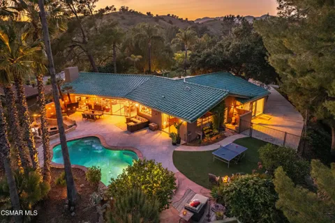
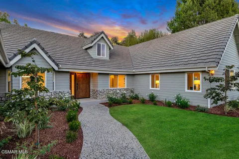
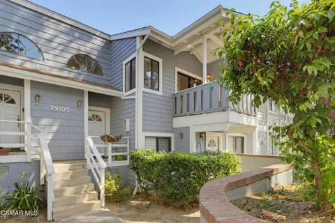
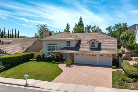
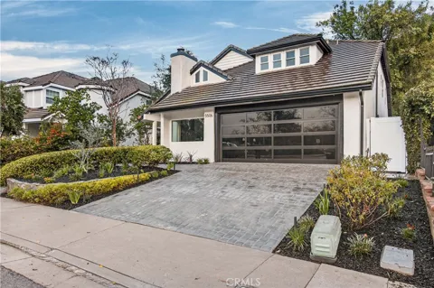
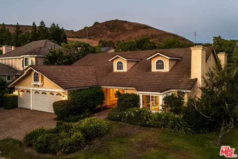
For sale
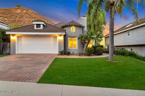
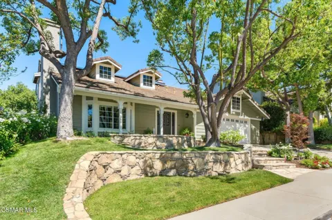
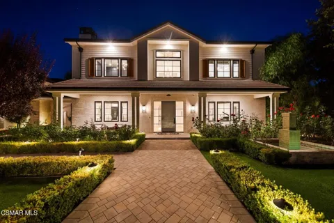
Houses in Agoura Hills, CA
Handpicked properties hitting the scene in your area.
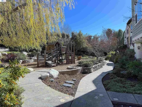
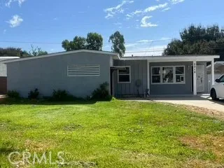
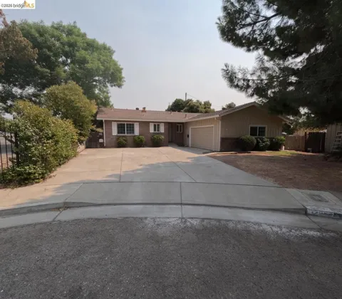
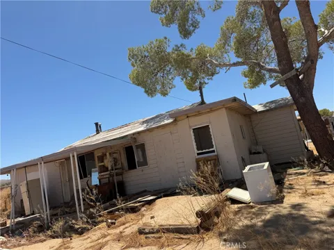
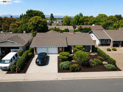
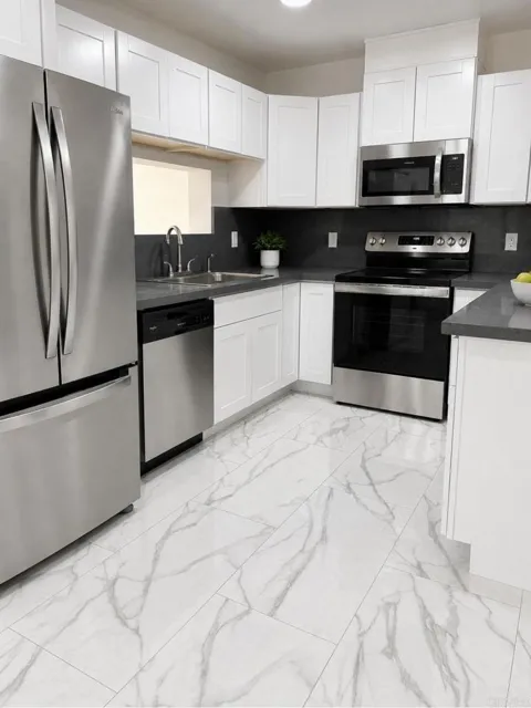
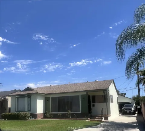
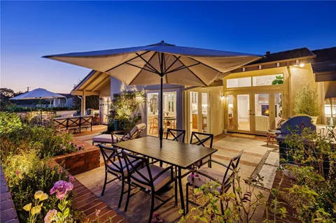
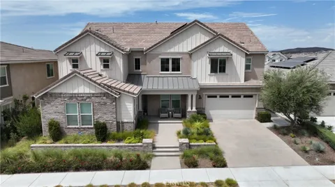
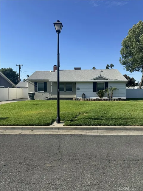
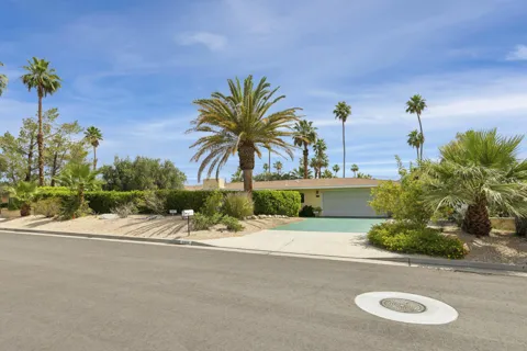
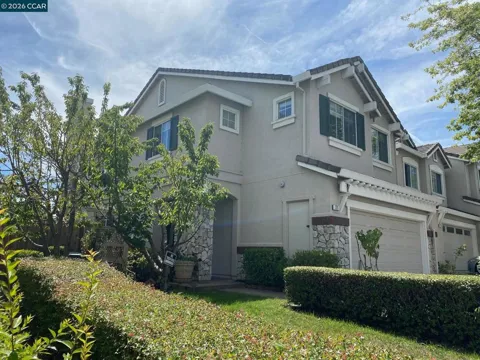
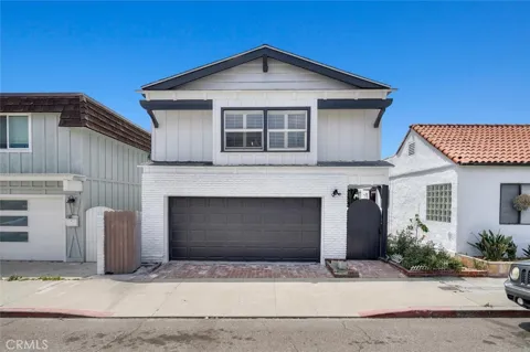
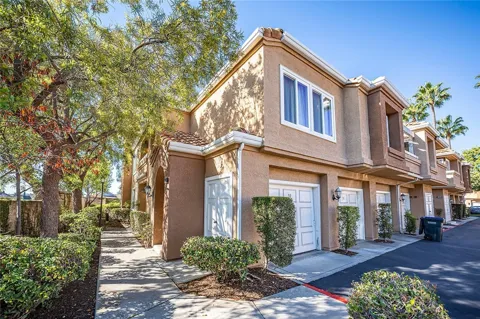
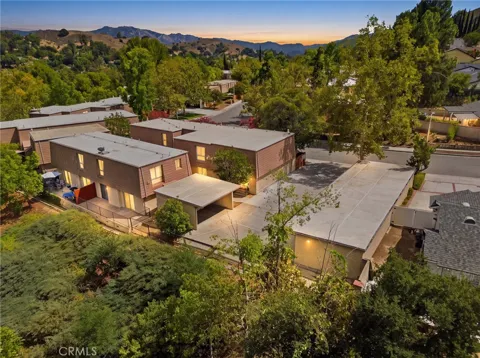
For sale
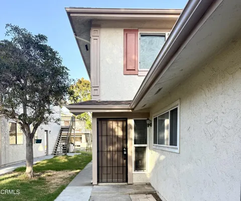
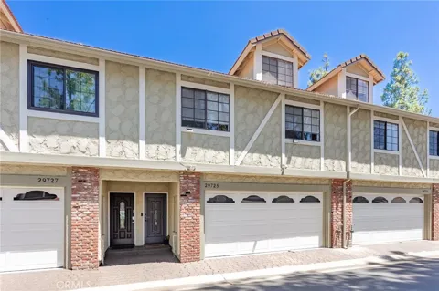
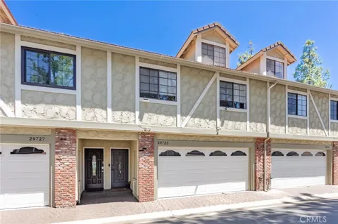
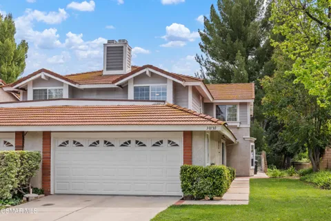
Townhomes in Agoura Hills, CA
Handpicked properties hitting the scene in your area.
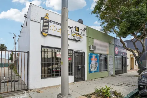
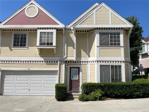
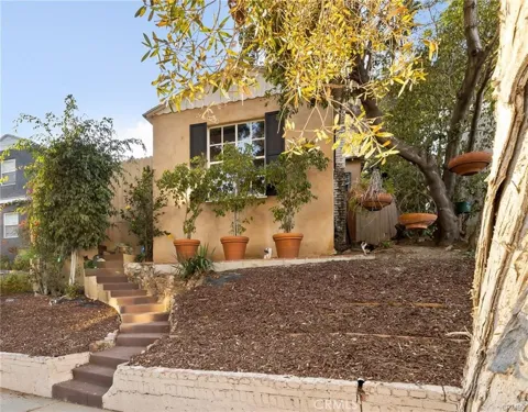
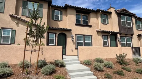
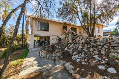
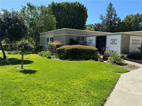
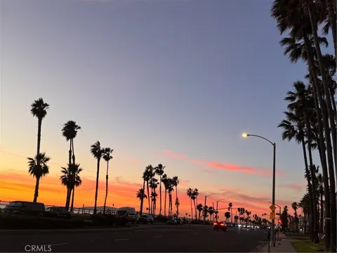
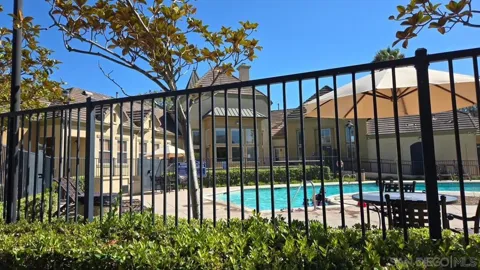
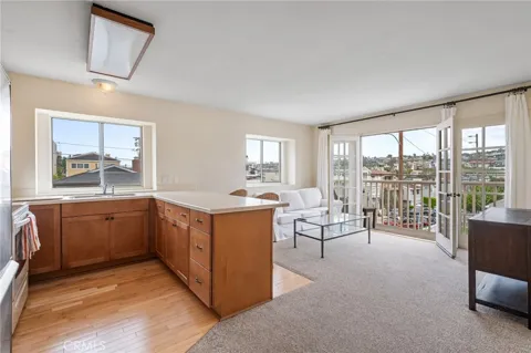
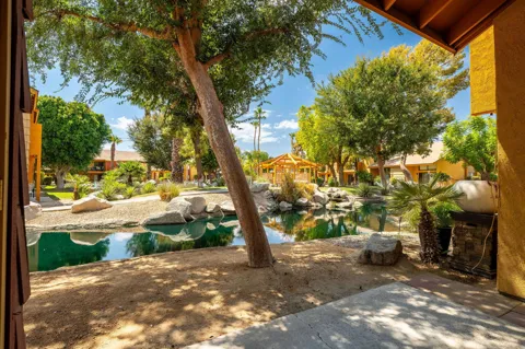
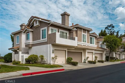
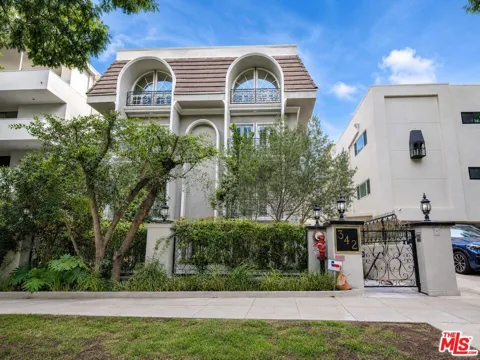
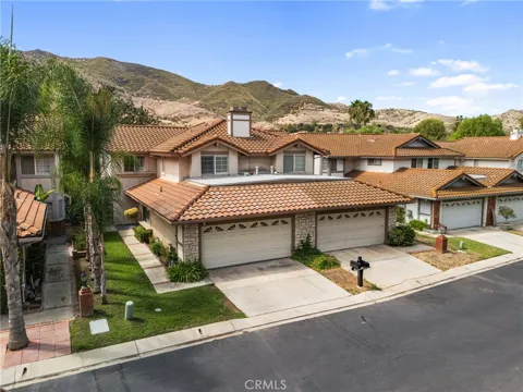
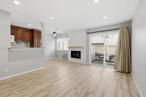
For sale
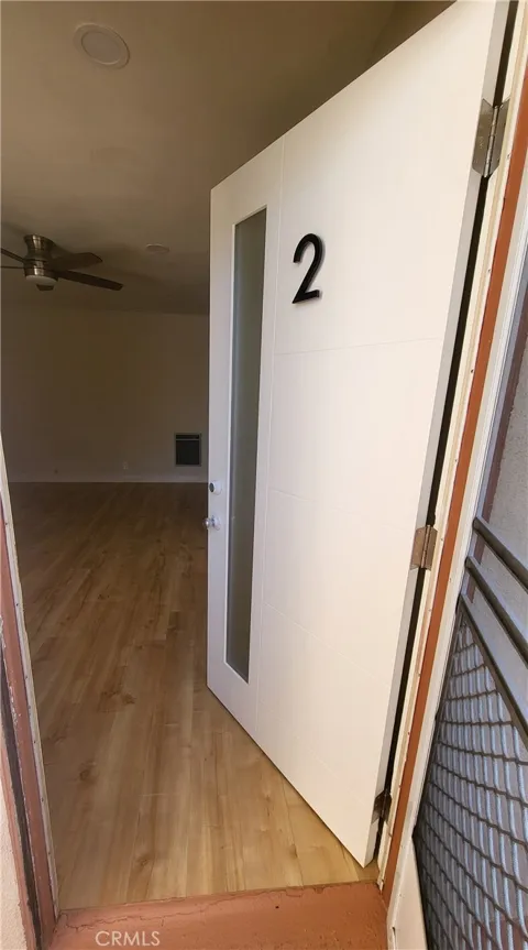
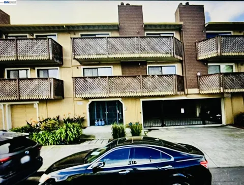
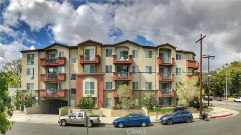
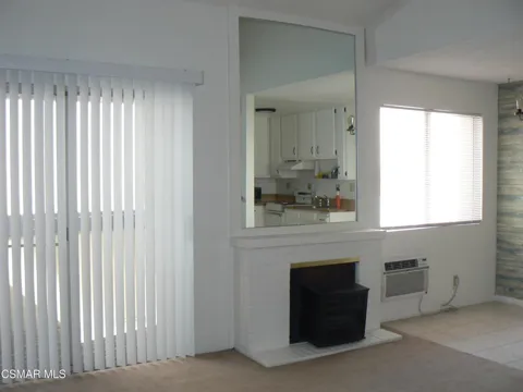
Condos in Agoura Hills, CA
Handpicked properties hitting the scene in your area.
Zip Codes
BROWSE BY ZIP
Browse listings by postal code in this area.
- Grid
- Map
- List

Contact us
Jessie Espinosa | Century 21 Select Real Estate, Turlock
1351 Geer Road, Ste. 103 Turlock, CA 95380
City Guide
About Agoura Hills
Real Estate & Housing
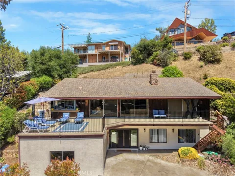
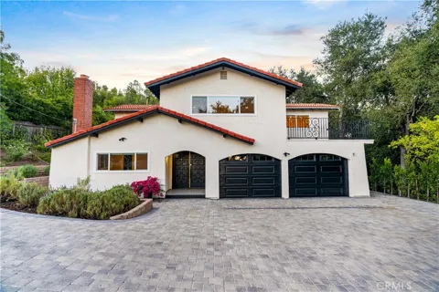
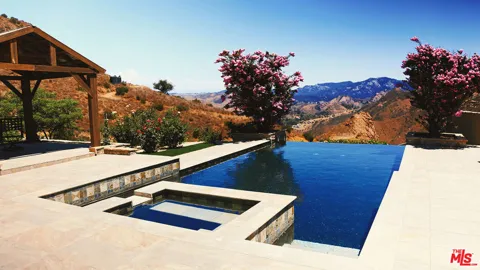
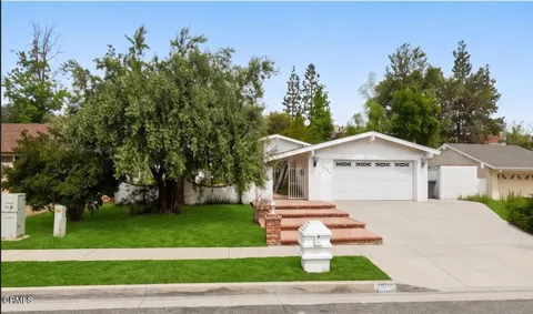
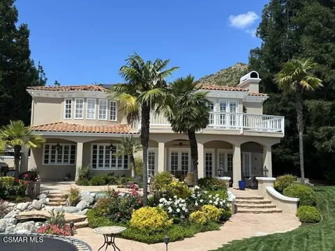
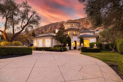
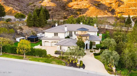
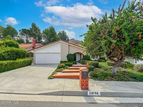
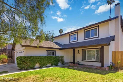
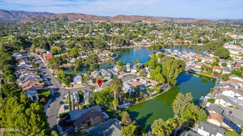
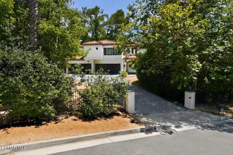
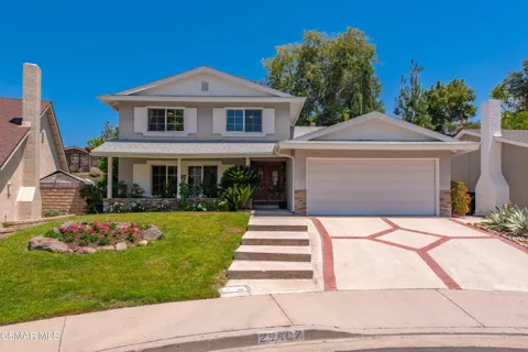
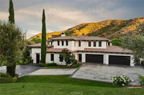
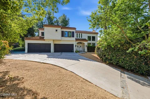
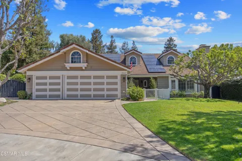
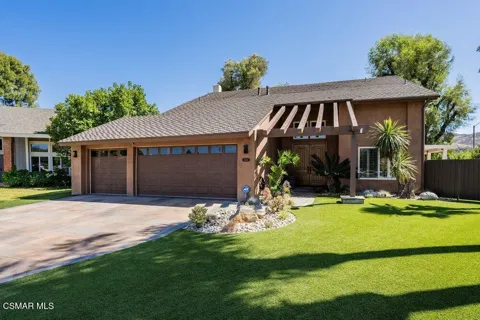
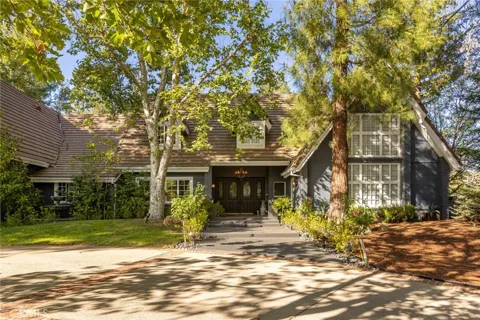
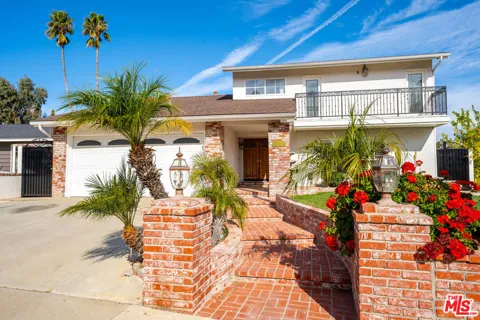
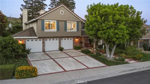
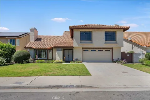
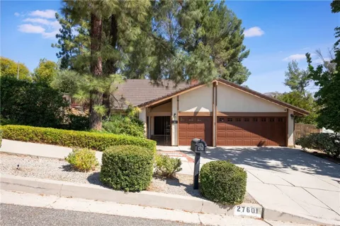
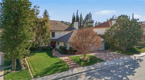
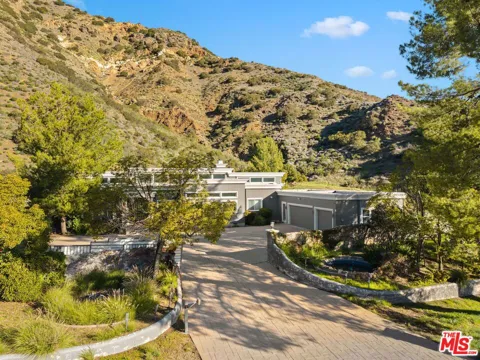
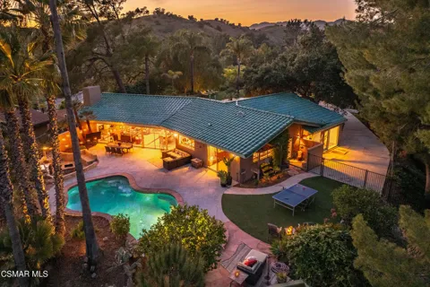
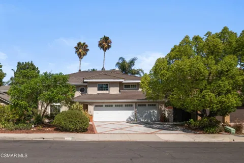
Agoura Hills' housing stock reflects its deliberate low-density planning. Much of the city consists of single-family homes on larger lots, ranging from 1970s and 1980s ranch and hillside homes in the earliest tracts to newer custom and gated properties. Equestrian-zoned areas and canyon lots offer room for stables and rural-style living, while the Lake Lindero community clusters homes around a private lake. Open space and ridgeline protections limit large-scale new development, so the market is characterized by established neighborhoods and custom hillside homes rather than dense subdivisions or high-rises.
Neighborhoods
Agoura Hills' neighborhoods spread across the valley floor and up into the surrounding hills. The first housing tracts—Hillrise, Liberty Canyon, and Lake Lindero—remain among its most established communities, with Lake Lindero built around its namesake lake and recreational amenities. Canyon and hillside areas offer larger lots, some zoned for equestrian use, with views of the Santa Monica Mountains. Farther along the 101 corridor, newer gated and custom-home enclaves sit close to open space, while the city's commercial areas cluster near the freeway, leaving the residential streets quiet and green.
Lifestyle in Agoura Hills
Agoura Hills offers a quiet, family-oriented way of life centered on the outdoors. Weekend activity revolves around trailheads into the Santa Monica Mountains, neighborhood parks, and the lake at the center of the Lake Lindero community. The city's low-key, low-density character contrasts with the faster pace of the San Fernando Valley, while the shopping, dining, and entertainment of Westlake Village and Calabasas are minutes away. The strong local school system and abundant open space make the city a draw for families seeking a suburban setting with direct access to nature.
Schools & Education
Public schools in Agoura Hills are part of the Las Virgenes Unified School District, a K–12 district of about fifteen schools serving Agoura Hills, Calabasas, Hidden Hills, Bell Canyon, and the Los Angeles County portion of Westlake Village. The district is consistently recognized among the region's strongest and draws families to the area for its schools. In addition to the public system, the surrounding Conejo Valley offers a number of private and independent school options, giving families a range of educational choices.
Getting Around
Agoura Hills is centered on the Ventura Freeway (U.S. Route 101), the region's principal corridor to Los Angeles, the San Fernando Valley, and Ventura County. Commuters heading toward Los Angeles can also reach the 405 Freeway and Pacific Coast Highway as alternatives, though the 101 is the city's main artery. The city's compact size and network of local roads keep everyday trips short, while regional destinations—from Malibu and the coast to the Conejo Valley's employment centers—are reachable by car. Transit options are limited, so automobile travel predominates.
Parks & Recreation
The Santa Monica Mountains define recreation in Agoura Hills. Trailheads from the city lead into the Santa Monica Mountains National Recreation Area, with popular routes to Ladyface Peak, the Rock Pool via Crags Road, and sections of the Backbone Trail. Nearby Malibu Creek State Park and the mountains' ridgeline trails offer hiking, mountain biking, and sweeping chaparral views. Within the city, the Lake Lindero community provides lake recreation and green space, while neighborhood parks serve sports and families. The city's open space and equestrian trails also support the area's long-standing horse-keeping tradition.
About Agoura Hills
Frequently asked questions
What county is Agoura Hills in?
Agoura Hills is in Los Angeles County, California, in the eastern Conejo Valley within the Santa Monica Mountains region. It sits along the Ventura Freeway (U.S. Route 101) on the western edge of the county.
What school district serves Agoura Hills?
Agoura Hills is served by the Las Virgenes Unified School District, a K–12 district that also serves Calabasas, Hidden Hills, Bell Canyon, and the Los Angeles County portion of Westlake Village.
How far is Agoura Hills from Los Angeles?
Agoura Hills is a suburb of Los Angeles, located roughly 30 to 40 minutes from the city in light traffic along the 101 Freeway. Commutes to the western San Fernando Valley and greater Los Angeles can be longer during peak hours.
What is Agoura Hills known for?
Agoura Hills is known for its low-density, semi-rural character, its protected open space, and its access to hiking in the Santa Monica Mountains National Recreation Area and nearby Malibu Creek State Park.
When was Agoura Hills incorporated?
Agoura Hills was incorporated on December 8, 1982, making it one of the newer cities in Los Angeles County. Its founders deliberately preserved the community's rural character and natural open space even as development expanded across the surrounding Conejo Valley.
Still have questions about Agoura Hills?
Get in touchExplore the area
